Views
9
Downloads
0
File Size
7.93 MB
Date Added
May 25, 2024
Description
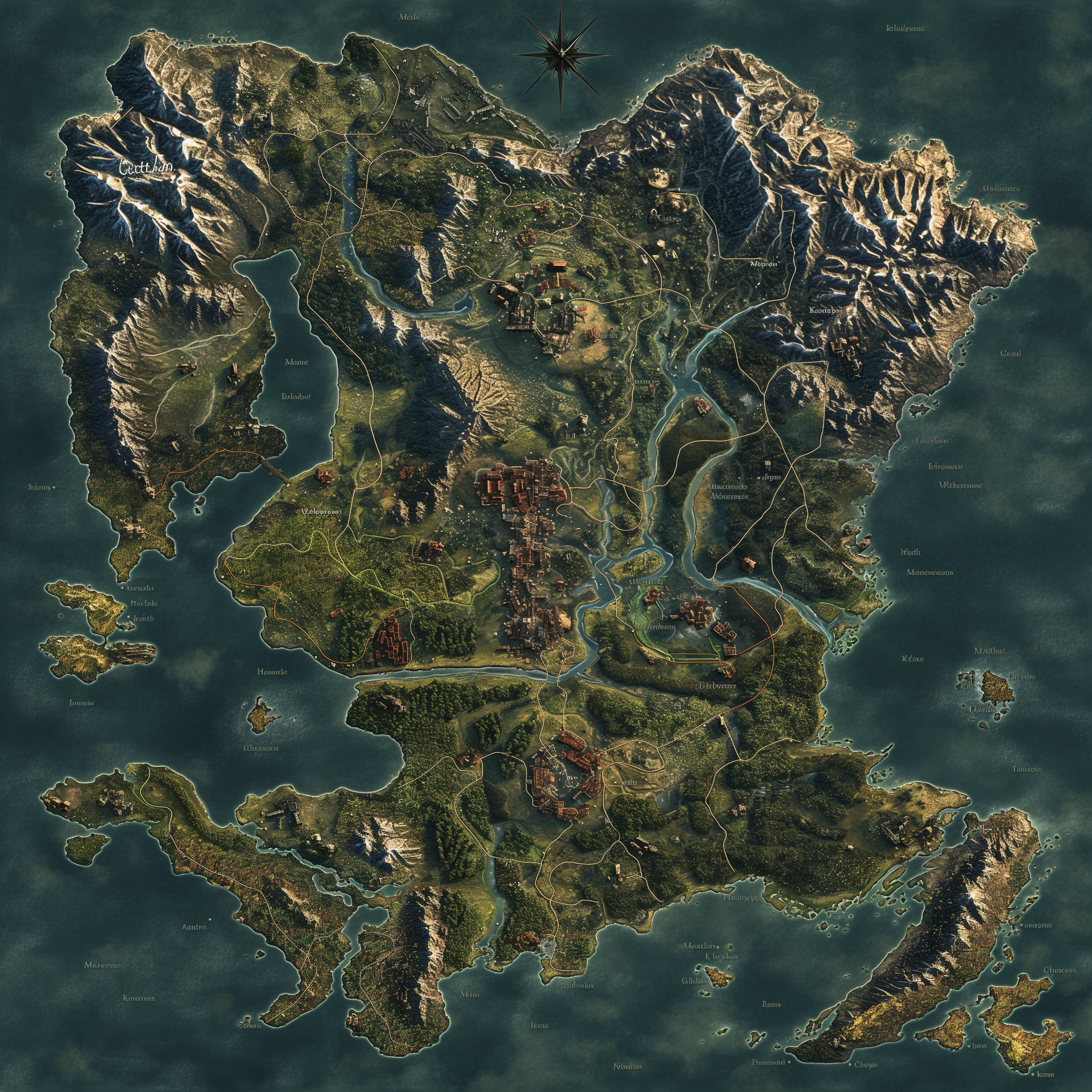
An aerial top view illustration of a map covering an area of 14 square kilometers. The map displays various geographical features and landmarks.
<a href='https://snipstock.com/'>Free Stock photos by SniptStock</a>


